Year 11 (ages 15–16, Grade 10 in the US) · Geography · GCSE fieldwork and decision-making · Lesson 1
Geographical fieldwork: planning an enquiry
The stages of a geographical enquiry: choosing a question, selecting a suitable location, primary and secondary data, sampling methods, presenting and analysing data, drawing conclusions and evaluating the investigation.
Exam boards: this lesson matches the AQA GCSE geography courses. Check which course your school follows.
8-minute video lesson
Teaching, worked examples and 20 practice questions solved step by step.
Watch free for a monthWhat your child will learn
- Describe the stages of an enquiry
- Choose appropriate data collection methods
- Explain sampling strategies
- Evaluate the reliability of fieldwork
The method
- 1 Question/hypothesis → 2 Collect data → 3 Present → 4 Analyse → 5 Conclude → 6 Evaluate.
- Primary data: collected yourself. Secondary: collected by others.
- Sampling: random, systematic or stratified.
- Evaluate: what limited your results and how to improve them.
Key words: enquiry, primary data, secondary data, sampling, evaluation.
Worked examples
Worked examples from the lesson, with every step.
Question 1
Write a hypothesis for a river investigation.
- Step 1: Something you can measure.
- Step 2: River velocity increases downstream.
Answer: e.g. ‘River velocity increases downstream.’
Question 2
Is a census primary or secondary data?
- Step 1: The government, not you.
Answer: secondary
Question 3
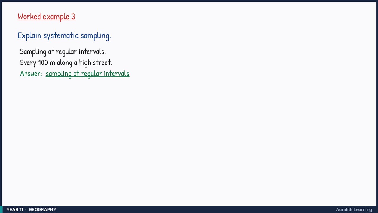
Explain systematic sampling.
- Step 1: Sampling at regular intervals.
- Step 2: Every 100 m along a high street.
Answer: sampling at regular intervals